GPS Meterology

An approach to estimating vertically integrated atmospheric water vapor, or precipitable water, from Global Positioning System (GPS) radio signals collected by a regional network of ground-based geodetic GPS receiver.

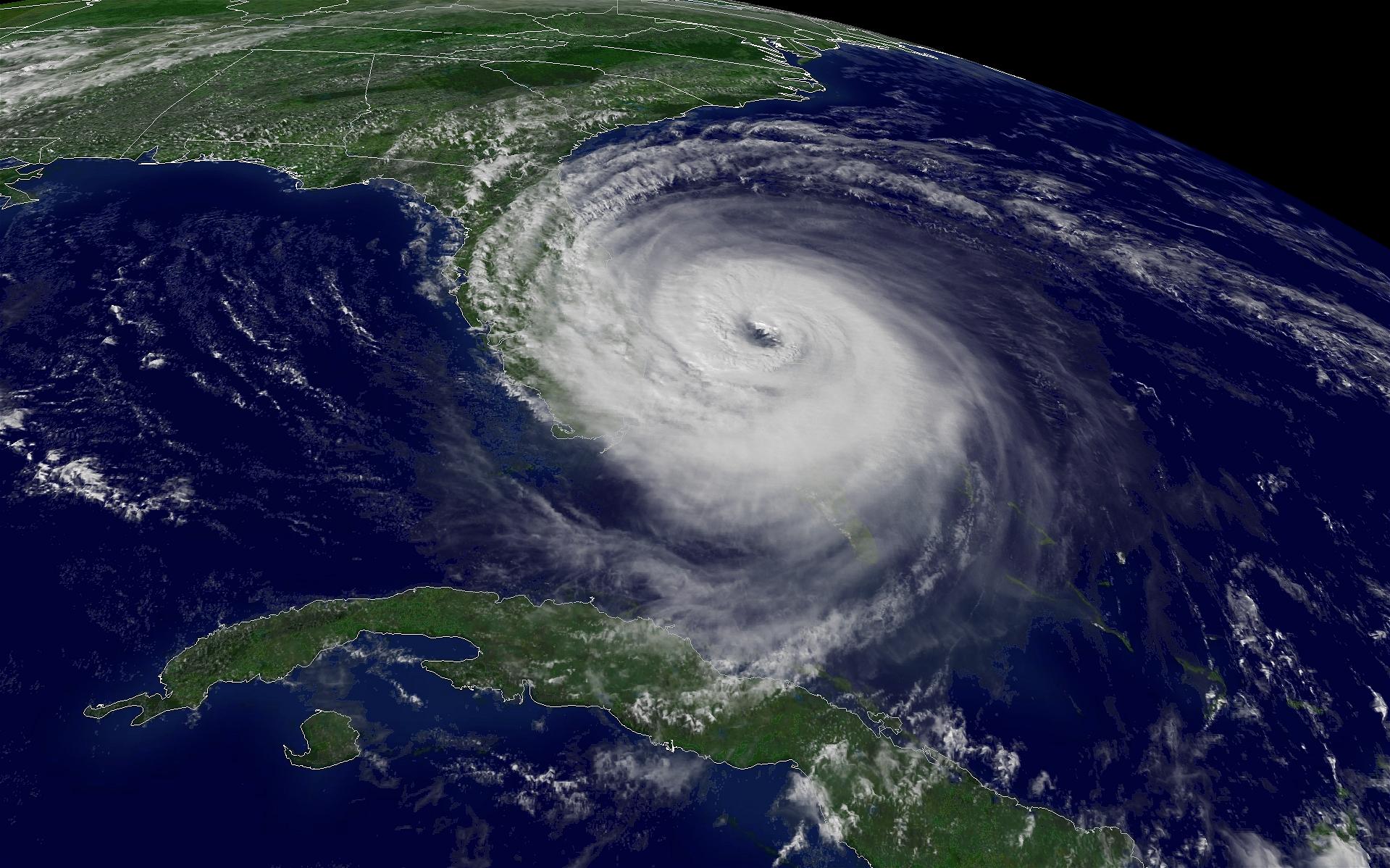
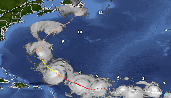
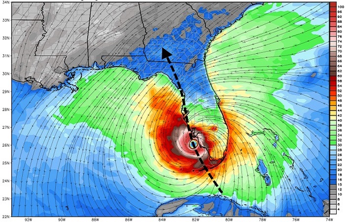
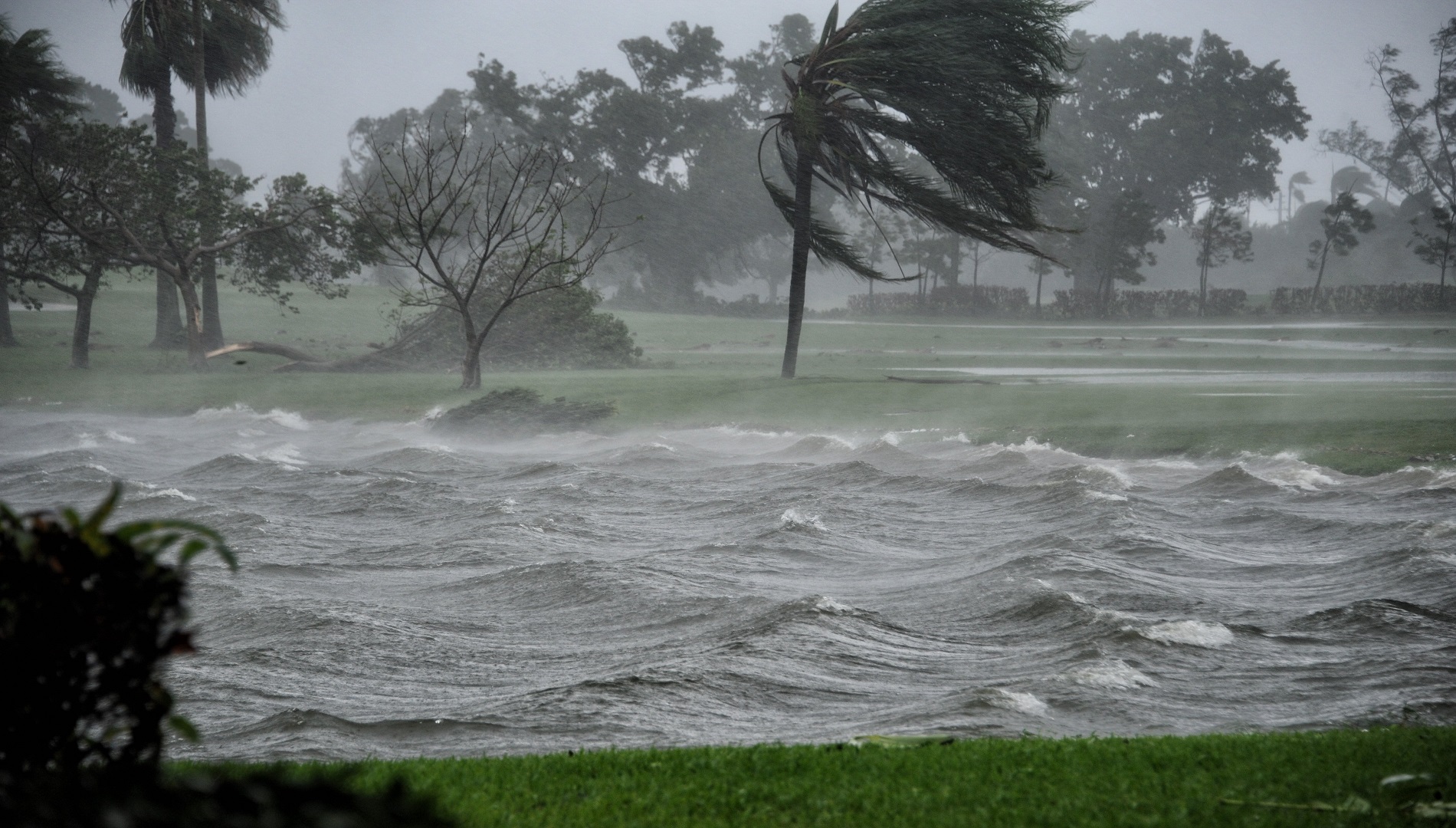
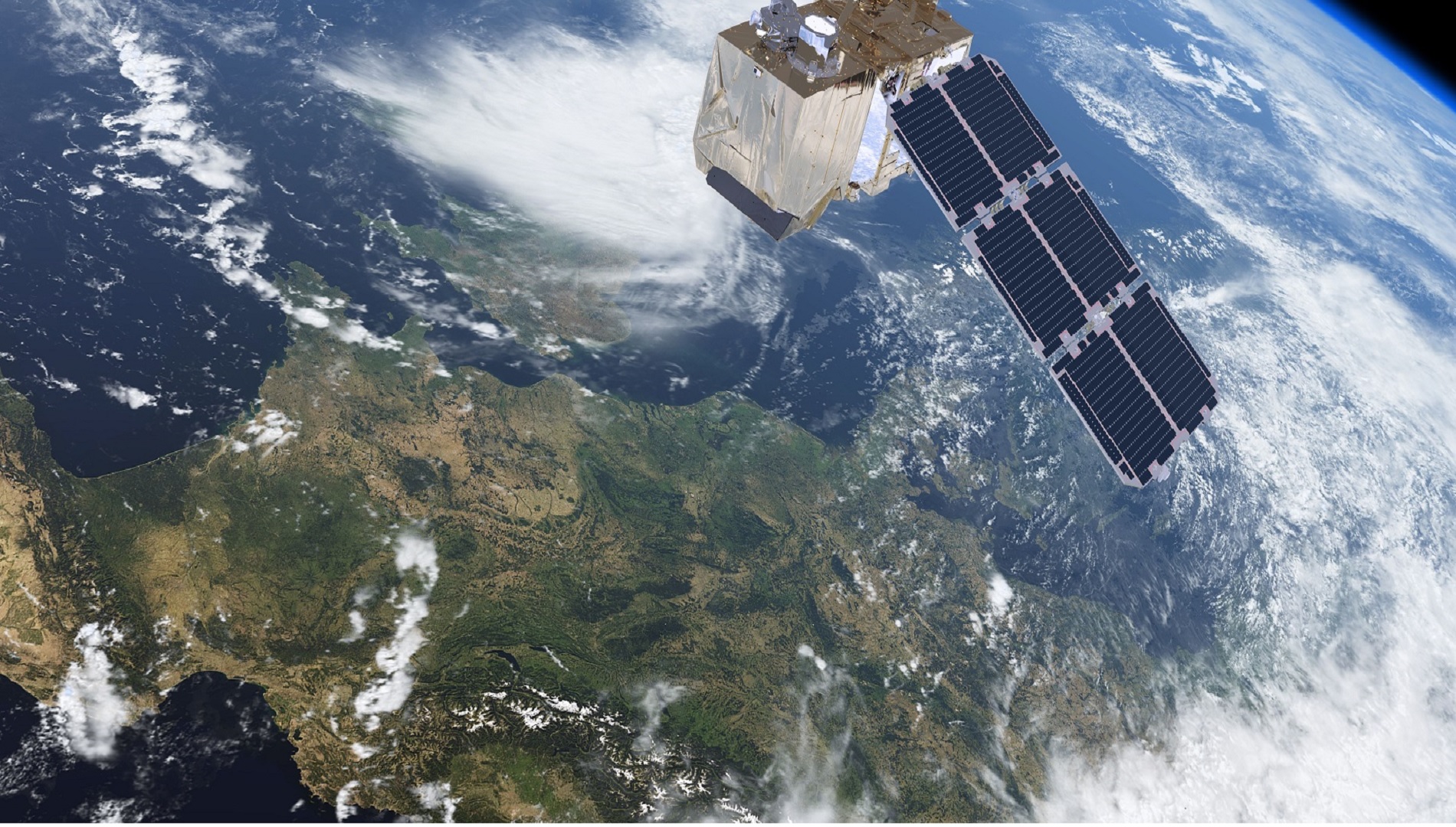
Hurricane Monitoring

An approach to represent the dynamic perturbations in the atmosphere water content and its movement path though the processing of the tropospheric delay of GNSS signal propagated from a satellite to a receiver on the ground.

Hurricane Path Prediction

A dynamic statistical prediction model quantifies the relationship between a spatial-temporal hurricane intensification, rate of change in the precipitable water vapor and the meteorological variables

GNSS-derived Hurricane monitoring Features

The available features includes:

  • Visualization of GNSS observations time series
  • Visualization of MET observations time series
  • Precise point positiong results as ZTD
  • Classification of hurricane intensity
  • Representation of hurricane predicted path by PPP solution